
The History of Land Surveying: From Chains to Satellites
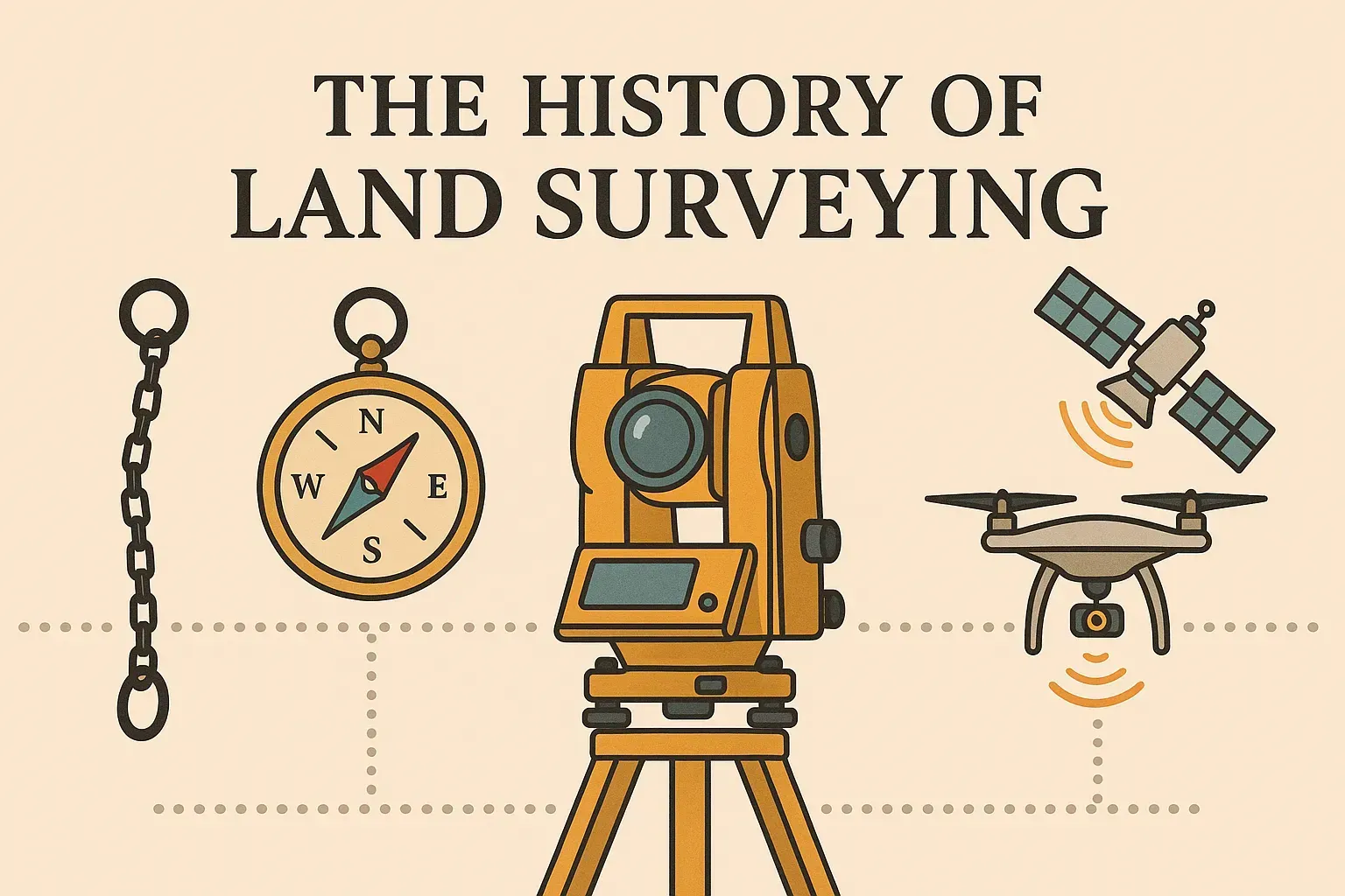
Land surveying has evolved dramatically over centuries—from basic tools like chains and compasses to modern GPS and aerial technologies. This narrative traces key milestones: John Wesley Powell’s groundbreaking railroad surveys, the establishment of the Public Land Survey System (PLSS), and the shift into today’s high-precision satellite-era methods.
Early Practices: Chains, Compasses, and Trigonometry
In ancient civilizations, simple measuring rods and sighting tools defined land. By the 18th century, European surveyors used Gunter’s chain (66 feet long) and magnetic compasses alongside trigonometric calculations to chart property lines. These tools were brought to North America, where early colonists mapped settlements and farms.
John Wesley Powell and Railroad Surveys
In the mid-19th century, explorer and surveyor John Wesley Powell led surveys along railroad expansions, employing theodolites and level loops to measure elevations and align tracks. His meticulous field notes and emphasis on accuracy advanced professional surveying standards. Powell’s work is a foundation of modern railroad engineering data.
The Public Land Survey System (PLSS)
Established by the Land Ordinance of 1785, the PLSS created a grid of townships and sections across U.S. territories. Surveyors marked principal meridians and baselines, dividing land into six-mile-square townships and one-mile-square sections. The PLSS standardized land division, enabling organized settlement and legal descriptions.
Learn more on Wikipedia
and the Texas Surveying History
page.
Transition to Electronic Instruments
The 20th century saw the introduction of electronic distance measurement (EDM) devices in the 1950s and total stations in the 1970s, combining angle and distance measurements into one instrument. Surveyors could record data digitally, reducing manual calculations and improving field efficiency.
Satellite Surveying and GPS
In the 1980s and 1990s, Global Positioning System (GPS) technology revolutionized surveying. Real-time kinematic (RTK) GPS provided centimeter-level accuracy by processing satellite signals and reference station data. Today’s surveyors integrate GPS, LiDAR, and unmanned aerial vehicles (UAVs) for rapid, precise mapping across diverse terrains.
Modern Practices and Digital Workflows
Modern land surveying relies on CAD/GIS software, cloud-based collaboration platforms, and mobile data collection apps. Digital deliverables—like interactive maps and 3D models—enhance stakeholder engagement and project planning. The shift from physical plots to digital datasets is the latest chapter in surveying history.
This historical overview synthesizes information from Become a Texas Surveyor, Wikipedia, and the Texas Board of Professional Engineers & Land Surveyors.